The Caminos de Santiago
Every route leads to Santiago — from a five-day walk along the Galician coast to a six-week crossing of Spain. Hover a route on the map or pick a card below.
Pick your route
Each route below has its own page with the map, elevation profile, the towns along the way and what to expect. The Francés is the classic first Camino; the Portugués is gentler and shorter; the Norte and Primitivo are for pilgrims who want mountains and fewer people; the Vía de la Plata is the long, quiet one.
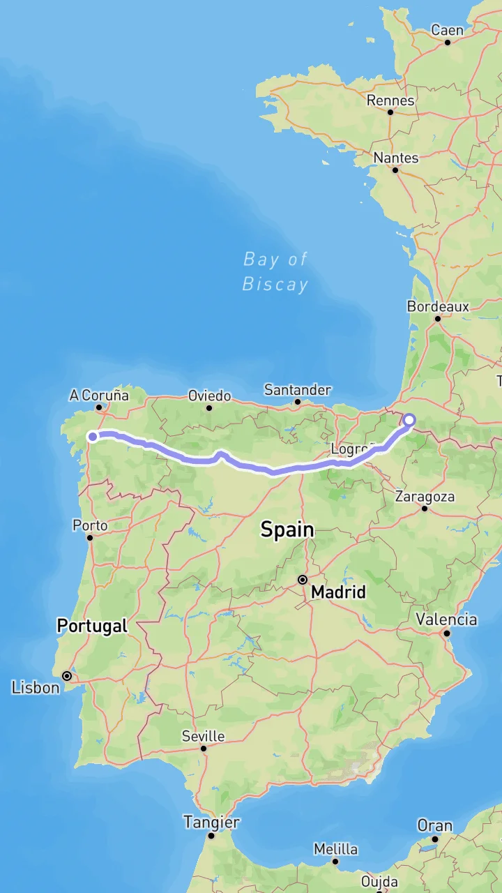
Camino Francés
The classic Way of St James from the Pyrenees to Santiago
780 km from Saint-Jean-Pied-de-Port over the Pyrenees, across the plains of Castile and through Galicia — the busiest route, with an albergue every few kilometres.
780 km30-35 days11,713 m ↑
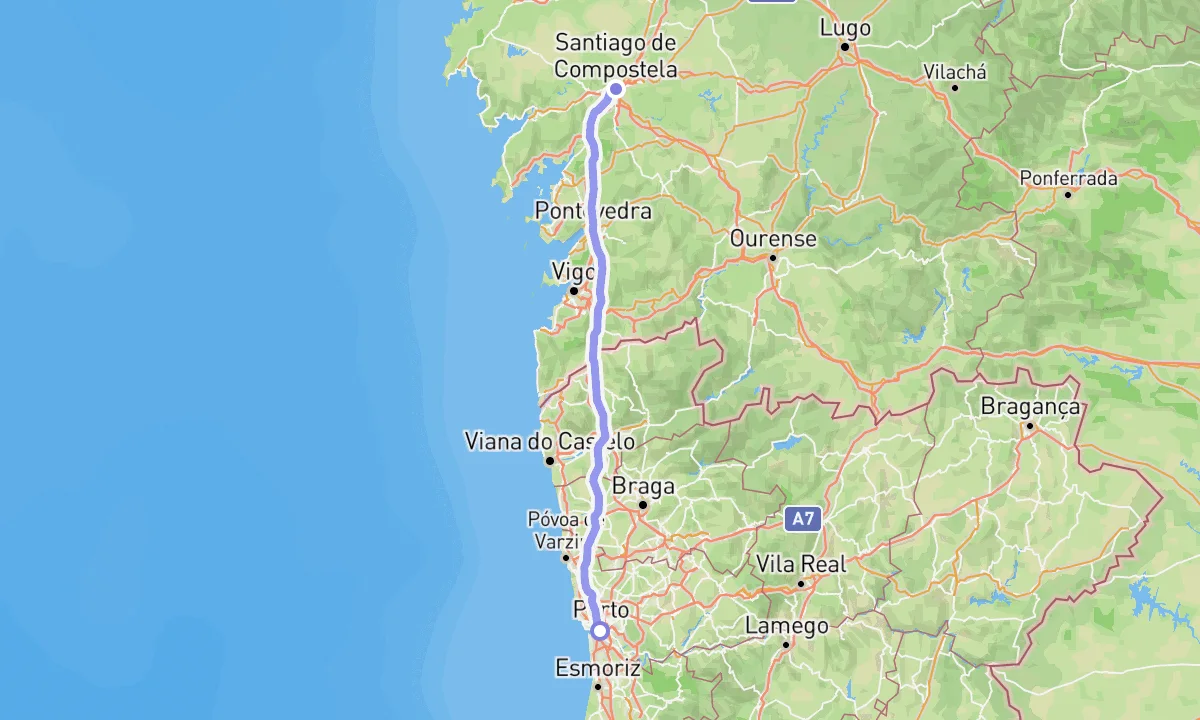
Camino Portugués Central
From Porto to Santiago through the interior of the Minho and Galicia
240 km10-12 days3,420 m ↑
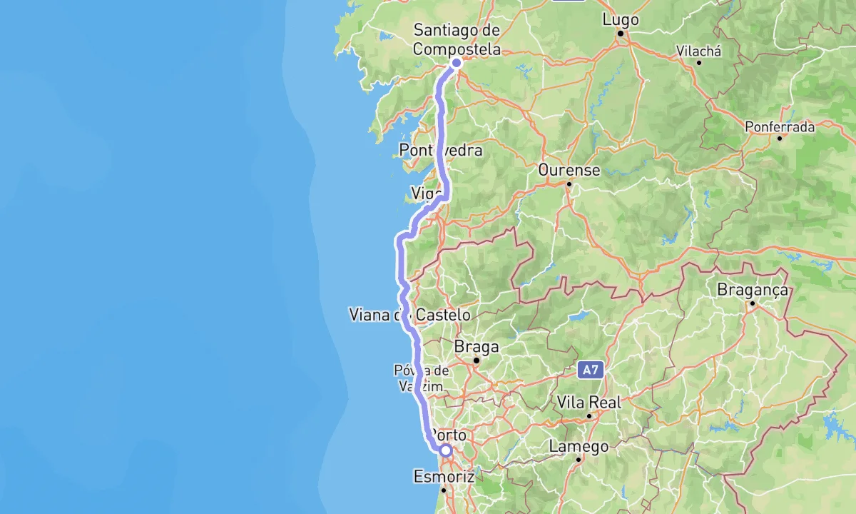
Camino Portugués Coastal
Beaches and boardwalks from Porto to Redondela, then on to Santiago
260 km10-12 days3,705 m ↑
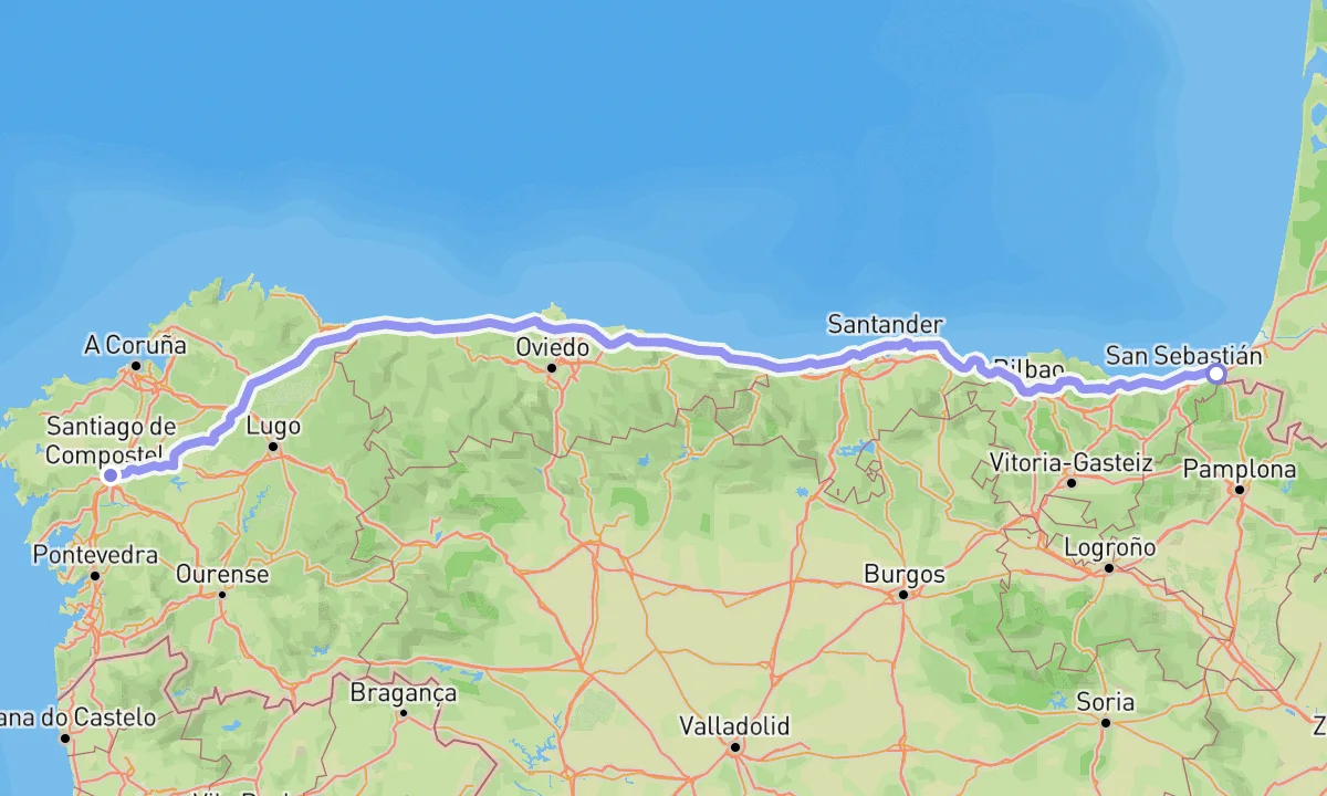
Camino del Norte
The coastal route along the Bay of Biscay
825 km32-38 days10,186 m ↑
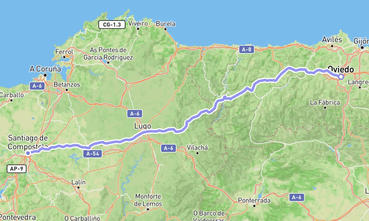
Camino Primitivo
The original route, from Oviedo over the mountains of Asturias
320 km12-16 days10,379 m ↑
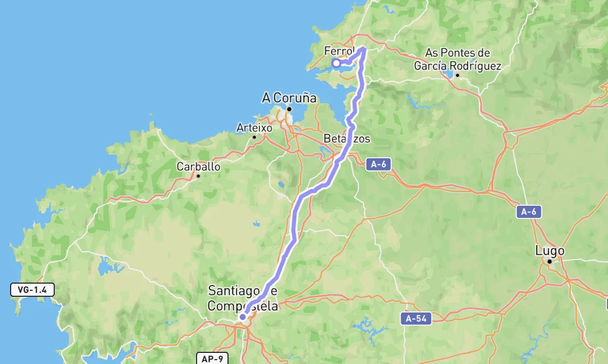
Camino Inglés
The short route from Ferrol, the pilgrims' port of northern Europe
120 km5-7 days2,193 m ↑
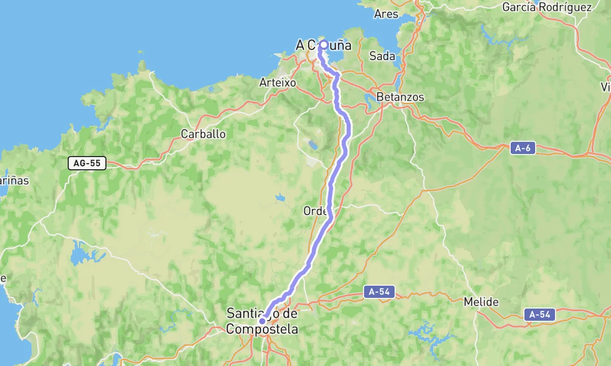
Camino Inglés from A Coruña
The shorter English route, joining the Ferrol one at Bruma
75 km3-5 days1,430 m ↑
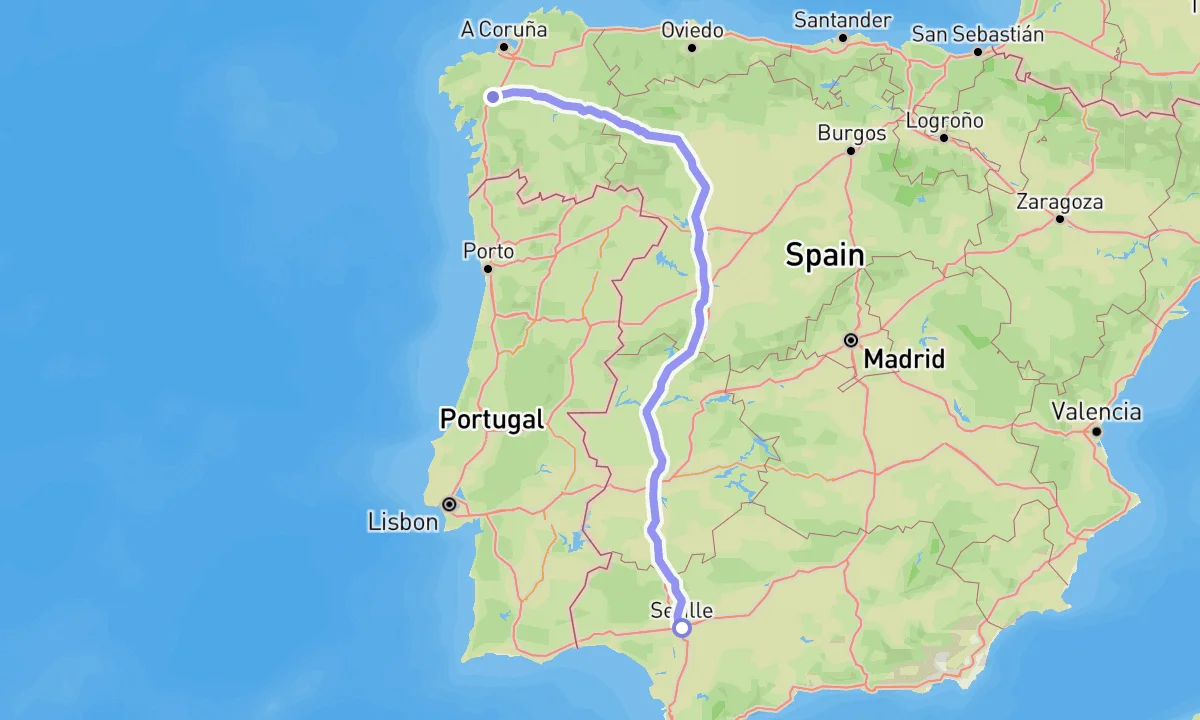
Vía de la Plata
The long Roman road from Seville to the north
1000 km40-50 days11,645 m ↑
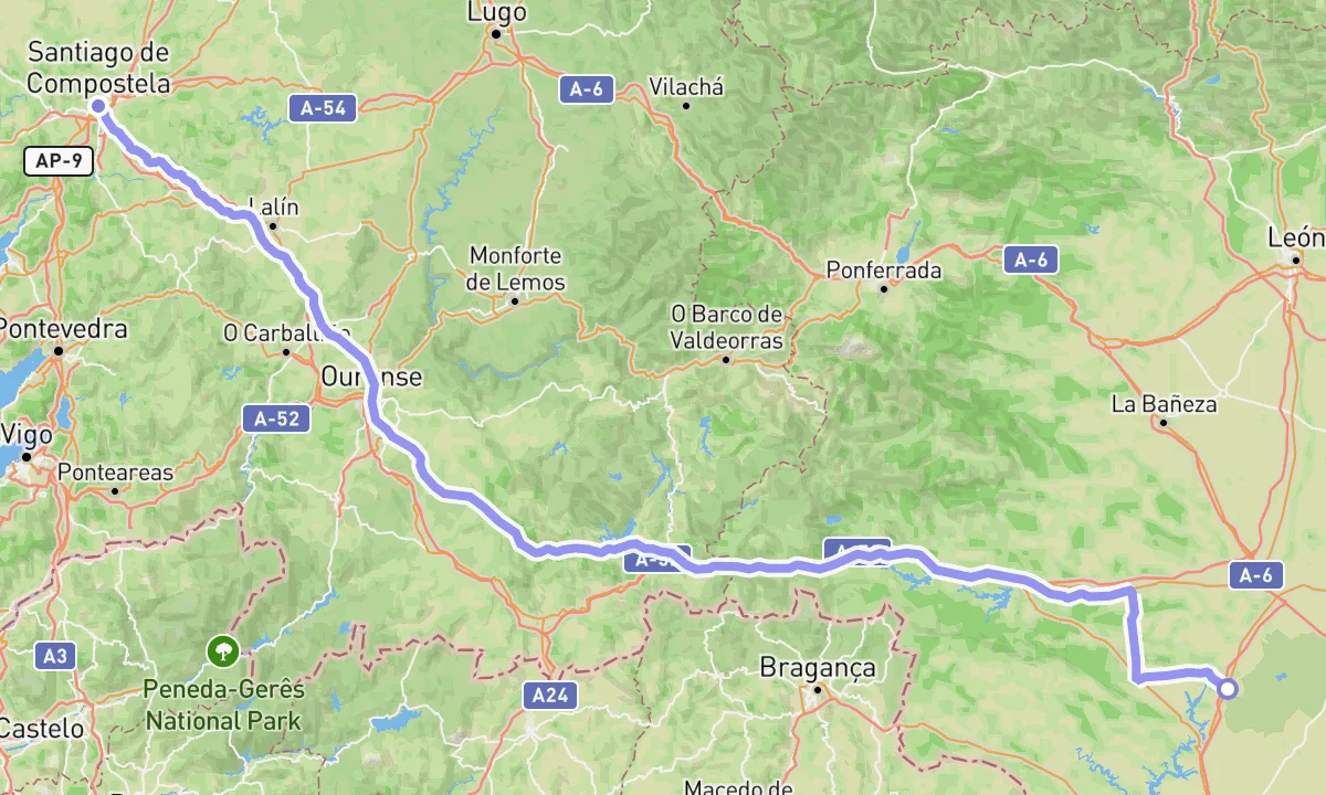
Camino Sanabrés
The western finish of the Vía de la Plata through Sanabria and Ourense
370 km15-20 days5,492 m ↑
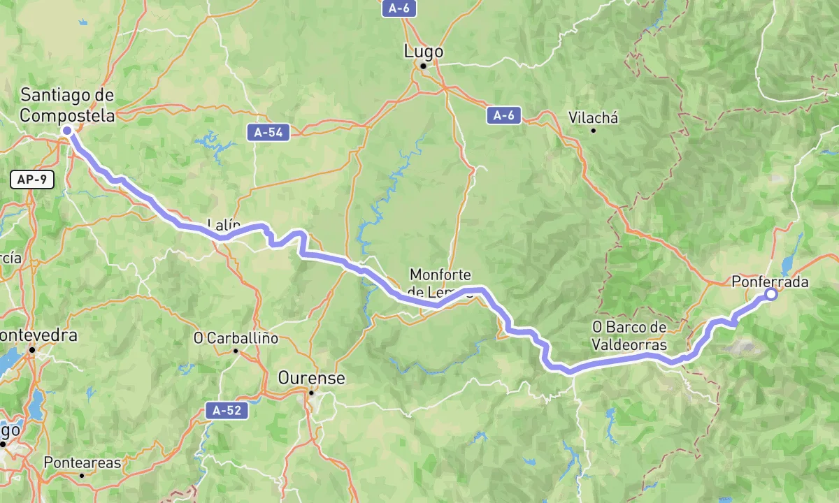
Camino de Invierno
The winter alternative from Ponferrada through the Ribeira Sacra
260 km10-14 days7,695 m ↑
Variants and alternatives
Side routes that leave a Camino for a few days and come back — each with its own map and description.