The western finish of the Vía de la Plata through Sanabria and Ourense
Granja de Moreruela → Santiago de Compostela
Loading map…
From the junction the route continues along the Camino de Invierno to Santiago.
Distance370 km
Walking time15-20 days
Elevation profile · 5,492 m ascent
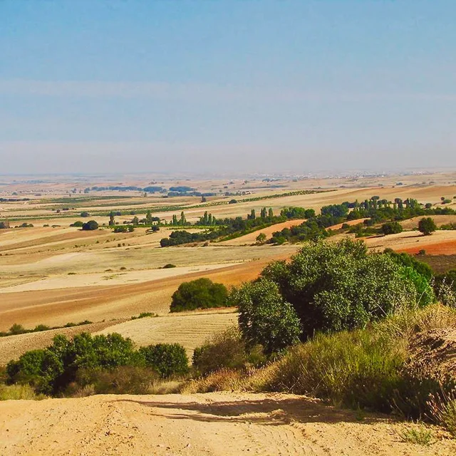
The Camino Sanabrés is the branch of the Vía de la Plata that turns west at Granja de Moreruela and reaches Santiago through the lakes of Sanabria and the thermal city of Ourense instead of the Camino Francés. It is 370 kilometres of quiet mountain and valley walking, with a hundred-kilometre finish from Ourense that has become a popular short Camino in its own right.
What the route is like
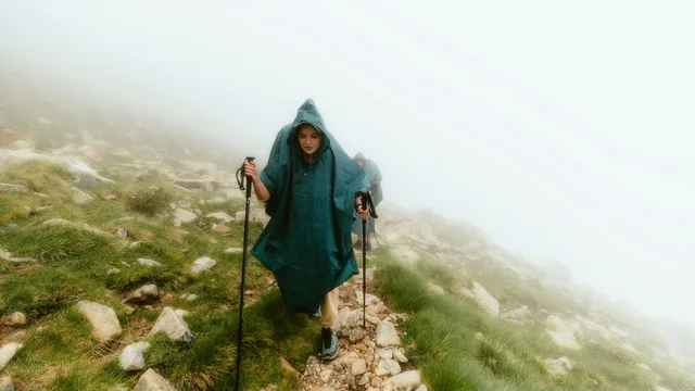
After the Cistercian monastery of Moreruela the route crosses the Esla and climbs slowly toward Puebla de Sanabria, a fortified town near Spain's largest glacial lake. The pass at A Canda leads into Galicia and the wine valleys around Ourense, where pilgrims soak in free hot springs by the Miño. The final stages through Cea, Oseira monastery and Silleda are hilly, green and almost empty compared with the Francés.
Walk the Camino Sanabrés with Camino.Today
Plan your stages on the map, see the elevation profile and the weather for every hour of your walk, find albergues along the way and talk to pilgrims on the same route — free, offline-ready, in English, Spanish and Russian.
Fifteen to twenty days from Granja de Moreruela; about five from Ourense.
When to walk
April to October. The Sanabria stages can see snow in winter and the passes are exposed.
Getting to the start
Granja de Moreruela is reached by bus from Zamora; most pilgrims arrive on foot from the Vía de la Plata. Ourense has trains from Madrid and Santiago for the shorter version.
Difficulty
Moderate. Hilly but with manageable stages once past Sanabria.
Places along the way
Tábara
Km 25
A monastery here produced the illuminated Beatus manuscripts of the tenth century; the Romanesque church of Santa María keeps the tower where the scribes worked.
Puebla de Sanabria
Km 110
A walled town on a rock above the Tera, with a 15th-century castle and, ten kilometres away, the Lago de Sanabria, the largest glacial lake in Spain.
The Padornelo and A Canda passes
Km 130–150
Two mountain passes above 1,300 metres cross from Castile into Galicia; the second is the border. Snow is possible from November to April.
Ourense
Km 250
A city built on hot springs: As Burgas in the centre and free open-air pools along the Miño, where pilgrims soak at the end of the day. The Roman bridge and the cathedral's Pórtico del Paraíso are the sights.
Oseira monastery
Km 280 (variant)
The 'Escorial of Galicia', a Cistercian monastery in a lonely valley, still inhabited by monks who take in pilgrims. It is reached by the longer of two variants after Cea.
Pico Sacro
Km 335
A quartz peak visible for the last two days, tied to the legend of the oxen that carried the Apostle's body. Santiago is one stage beyond.
Stages
Every pilgrim walks the Camino Sanabrés at a different pace, so this page does not prescribe daily stages. In the Camino.Today app you pick any two towns on the route and get the stage between them — distance, walking time, elevation profile and the weather for each hour of the walk. Plan the whole Camino stage by stage before you leave, or decide each morning how far you go today; the plan is yours to change at any time.
Where to sleep on the Camino Sanabrés
119 places to sleep in 48 towns along this route, 60 of them pilgrim albergues — with prices, beds, photos, contacts and the map.
Distances from Granja de Moreruela. Every town and village within a kilometre of the path, as shown in the app.
0 kmGranja de Moreruela
6.7 kmPuente Quintos
17.3 kmFaramontanos de Tábara
24.2 kmTábara
38.4 kmVillanueva de las Peras
45.5 kmSanta Croya de Tera
58 kmCalzadilla de Tera
64.5 kmEmbalse de Agavanzal
67.5 kmVillar de Farfón
73.1 kmRionegro del Puente
82.4 kmMombuey
86.8 kmValdemerilla
90.2 kmCernadilla
101.5 kmPalacios de Sanabria
106.4 kmOtero de Sanabria
112.5 kmPuebla de Sanabria
121.4 kmTerroso
132.6 kmPadornelo
138.7 kmLubián
144.5 kmPortela de la Canda
149.1 kmVilavella
153 kmO Pereiro
161.4 kmLa Gudiña
165.5 kmVenda do Espiño
173.8 kmVenda do Bolaño
180.1 kmCampobecerros
187.8 kmAs Eiras
193.5 kmLaza
197.2 kmSoutelo Verde
204.8 kmAlberguería
211.7 kmVilar do Barrio
219.8 kmBobadela a Pinta
245.7 kmOurense
250.7 kmCudeiro
258.3 kmTamallancos
263.9 kmViduedo
281.1 kmCastro-Dozón
286.6 kmPuxallos
293.4 kmEstación de Lalín
296.4 kmA Eirexe
304.3 kmTaboada
319.3 kmDornelas
324.2 kmSan Miguel de Castro
330.7 kmOuteiro
334.3 kmLestedo
337.8 kmA Susana
347.1 kmSantiago de Compostela
Common questions
How long is the Camino Sanabrés?
370 km from Granja de Moreruela to Santiago de Compostela, with about 5,492 m of climbing along the way.
How many days do you need to walk it?
Most pilgrims take 15-20 days, which works out at roughly 20 to 25 kilometres a day. You can walk it in fewer days or split it across several trips — the route is the same.
How difficult is the Camino Sanabrés?
Moderate. Hilly but with manageable stages once past Sanabria.
Where do you sleep on the Camino Sanabrés?
There are 119 places to sleep along the route in 48 towns and villages, 60 of them pilgrim albergues. Each one has its prices, beds, photos and contacts on this site.
When is the best time to walk the Camino Sanabrés?
Late April to early June and mid-September to mid-October are the most comfortable windows: mild weather, long days and everything open. July and August are hot inland and busy; from November to March many private albergues close.
What is the Camino Sanabrés like?
After the Cistercian monastery of Moreruela the route crosses the Esla and climbs slowly toward Puebla de Sanabria, a fortified town near Spain's largest glacial lake. The pass at A Canda leads into Galicia and the wine valleys around Ourense, where pilgrims soak in free hot springs by the Miño. The final stages through Cea, Oseira monastery and Silleda are hilly, green and almost empty compared with the Francés.
From the blog
Short, honest posts about walking to Santiago — gear, money, routes and the things nobody warns you about.