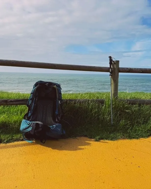
The coastal Camino Portugués leaves Porto along the Atlantic and stays with the ocean for most of a week: kilometres of wooden boardwalks through the dunes, fishing ports, forts and beaches, a ferry across the Minho estuary and the Galician Rías Baixas before it turns inland at Redondela to join the central route for the final stages to Santiago.
What the route is like
The first days are the flattest walking on any Camino: boardwalks past Matosinhos, Vila do Conde and Esposende. Viana do Castelo, with its basilica on the hill, is the first big town. At Caminha a small ferry crosses to A Guarda in Spain, and the coast becomes wilder and rockier as the route passes Oia's monastery and reaches Baiona, where the Pinta brought news of the Americas in 1493.
From Vigo the route climbs gently inland to Redondela and merges with the central route through Pontevedra, Caldas de Reis and Padrón. Two connections let pilgrims switch to the central route earlier, at Vila do Conde or from Caminha to Valença.
Walk the Camino Portugués Coastal with Camino.Today
Plan your stages on the map, see the elevation profile and the weather for every hour of your walk, find albergues along the way and talk to pilgrims on the same route — free, offline-ready, in English, Spanish and Russian.
Ten to twelve days from Porto, the same as the central route, with easier daily walking in Portugal.
When to walk
April to October for reliable ferry crossings and swimming weather. Atlantic wind is constant year round; sun protection matters more than on inland routes.
Getting to the start
From Porto airport take the metro to the city; the coastal route begins at the cathedral like the central one, following the Douro to the sea at Foz.
Difficulty
Easy. Flat for days, with short climbs only in Galicia.
Places along the way
The boardwalks north of Porto
Km 5–60
From Matosinhos to Esposende the route runs on wooden walkways through the dunes, past beaches, forts and fishing villages — the flattest days on any Camino, with the Atlantic on your left all the way.
Vila do Conde
Km 25
A shipbuilding town at the mouth of the Ave, with a Renaissance monastery and the first of two links to the central route for pilgrims who want to leave the coast early.
Viana do Castelo
Km 75
The most elegant town of the coastal route, with a Manueline old town, a riverside promenade and the basilica of Santa Luzia on the hill above, reached by funicular.
Caminha and the Minho ferry
Km 100, the border
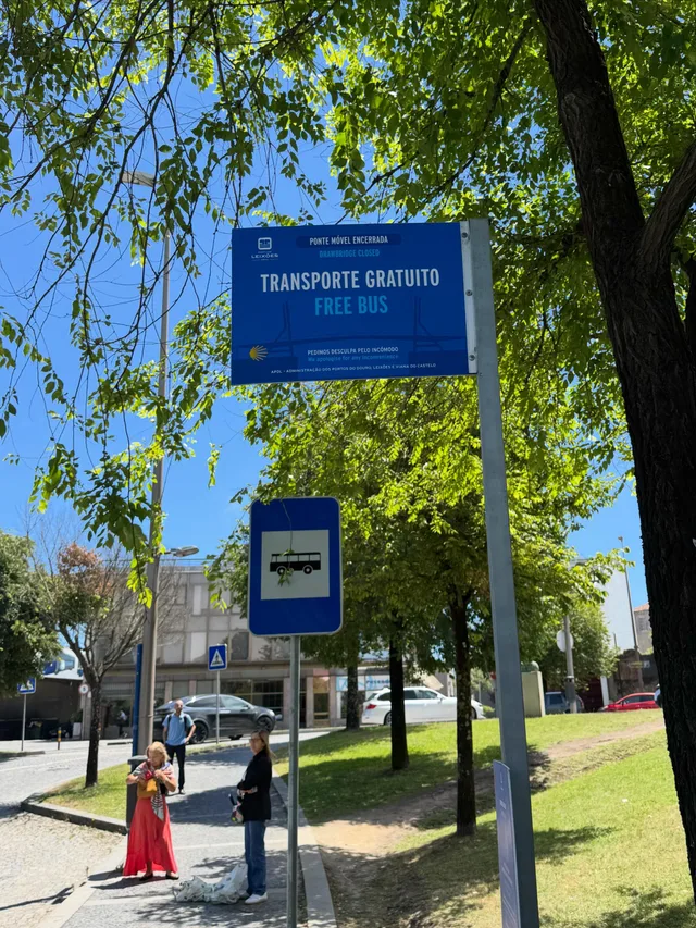
A fortified town on the Minho estuary. A small ferry crosses to A Guarda in Spain; when it does not run, the route follows the river inland to Valença.
A Guarda and Santa Tegra
Km 105, Galicia
The hill of Santa Tegra above the town holds the excavated Celtic hill fort of the Castro culture, with round stone houses and a view over the Minho estuary and the ocean.
Oia
Km 120
A Cistercian monastery on the rocks facing the Atlantic, whose monks are said to have fired cannon at pirates from the church. The coast here is wild and empty.
Baiona
Km 135
Where the Pinta arrived on 1 March 1493 with the first news of the Americas; a replica sits in the harbour. The walled Monterreal fortress is now a parador.
Vigo and the Ría
Km 160
Galicia's largest city and Europe's biggest fishing port. The route climbs through the eastern suburbs on a green path with views of the Cíes islands, then drops to Redondela to join the central route.
Stages
Every pilgrim walks the Camino Portugués Coastal at a different pace, so this page does not prescribe daily stages. In the Camino.Today app you pick any two towns on the route and get the stage between them — distance, walking time, elevation profile and the weather for each hour of the walk. Plan the whole Camino stage by stage before you leave, or decide each morning how far you go today; the plan is yours to change at any time.
Where to sleep on the Camino Portugués Coastal
285 places to sleep in 69 towns along this route, 136 of them pilgrim albergues — with prices, beds, photos, contacts and the map.
Vila do Conde linkLeaves the coastal route at Vila do Conde and joins the central route after 9 km, for pilgrims who want a first day by the sea and the rest inland.9.2 km
Caminha to Valença linkFollows the Minho river inland from Caminha to Valença and Tui, joining the central route without the ferry to A Guarda.28.4 km
Towns along the way
Distances from Porto. Every town and village within a kilometre of the path, as shown in the app.
0 kmPorto
10.4 kmMatosinhos
20.8 kmLavra
31.9 kmVila do Conde
35.5 kmPovoa de Varzim
38.8 kmA Ver-o-Mar
49.6 kmApúlia
53.1 kmFão
59.6 kmMarinhas
63.3 kmBelinho
79.7 kmViana do Castelo
84.4 kmAreosa
87.6 kmCarreço
93.3 kmCruzeiro
97.1 kmVila Praia de Âncora
102.2 kmMoledo
105.3 kmCaminha
111 kmA Guarda
117.2 kmPortocelos
123.2 kmOia
127.3 kmVilladesuso
134.8 kmAs Mariñas
140.2 kmBaiona
143.3 kmSabarís
148.8 kmNigrán
156.3 kmIglesia de San Salvador de Corujo
161.7 kmCastrelos Park
166.4 kmVigo
179.8 kmRedondela
183.1 kmCesantes
186.6 kmArcade
194.8 kmCasal do Río
202.2 kmAlba
214.1 kmBriallos
223.7 kmSanta Mariña de Carracedo
250.4 kmA Grela
256.6 kmParque de Eugenio Granell
257.8 kmSantiago de Compostela
Common questions
How long is the Camino Portugués Coastal?
260 km from Porto to Santiago de Compostela, with about 3,705 m of climbing along the way.
How many days do you need to walk it?
Most pilgrims take 10-12 days, which works out at roughly 20 to 25 kilometres a day. You can walk it in fewer days or split it across several trips — the route is the same.
How difficult is the Camino Portugués Coastal?
Easy. Flat for days, with short climbs only in Galicia.
Where do you sleep on the Camino Portugués Coastal?
There are 285 places to sleep along the route in 69 towns and villages, 136 of them pilgrim albergues. Each one has its prices, beds, photos and contacts on this site.
When is the best time to walk the Camino Portugués Coastal?
Late April to early June and mid-September to mid-October are the most comfortable windows: mild weather, long days and everything open. July and August are hot inland and busy; from November to March many private albergues close.
What is the Camino Portugués Coastal like?
The first days are the flattest walking on any Camino: boardwalks past Matosinhos, Vila do Conde and Esposende. Viana do Castelo, with its basilica on the hill, is the first big town. At Caminha a small ferry crosses to A Guarda in Spain, and the coast becomes wilder and rockier as the route passes Oia's monastery and reaches Baiona, where the Pinta brought news of the Americas in 1493.
From the blog
Short, honest posts about walking to Santiago — gear, money, routes and the things nobody warns you about.